Updated 2026-01-24 How Our Lake Water Level Changes, or ... How High Should I Build My Dock? |
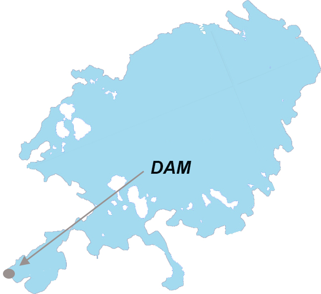
Controlling Water Level Skeleton Lake lies at an elevation of 281 meters above sea level and is the highest lake in the Muskoka watershed. With no major rivers flowing into the lake, it is known as a “source” lake (See Muskoka River Watershed Plan). Its level is relatively stable as groundwater and runoff are the major sources while the exit is managed by a fixed weir dam controlling flow of the water into the Skeleton River at the end of Simolean Bay.
Particularly when water levels are high, boaters must be aware of the damage their wakes can do to property and wildlife. Large wakes create damage to shore-line structures, shore erosion and destroy nesting habitat for waterfowl. Please be Wake Aware! Recorded Lake Levels Lake levels were recorded historically by the Ministry of Natural Resources and Forestry (now the Ministry of Northern Development, Mines, Natural Resources and Forestry) ad hoc over the years by reading a gauge set up near the dam in Simolean Bay. A new automated system was installed in 2021 to monitor on a constant basis. The Answer ... How high should I build my dock? That we will leave to you, but our recommendation is that as long as it’s higher than the spring levels, you should be okay! | Geographic Co-ordinate System defines where the data is located on the earth’s surface. For us Geological Survey of Canada (GSC) |
Minimum and Maximum Lake Levels |


